

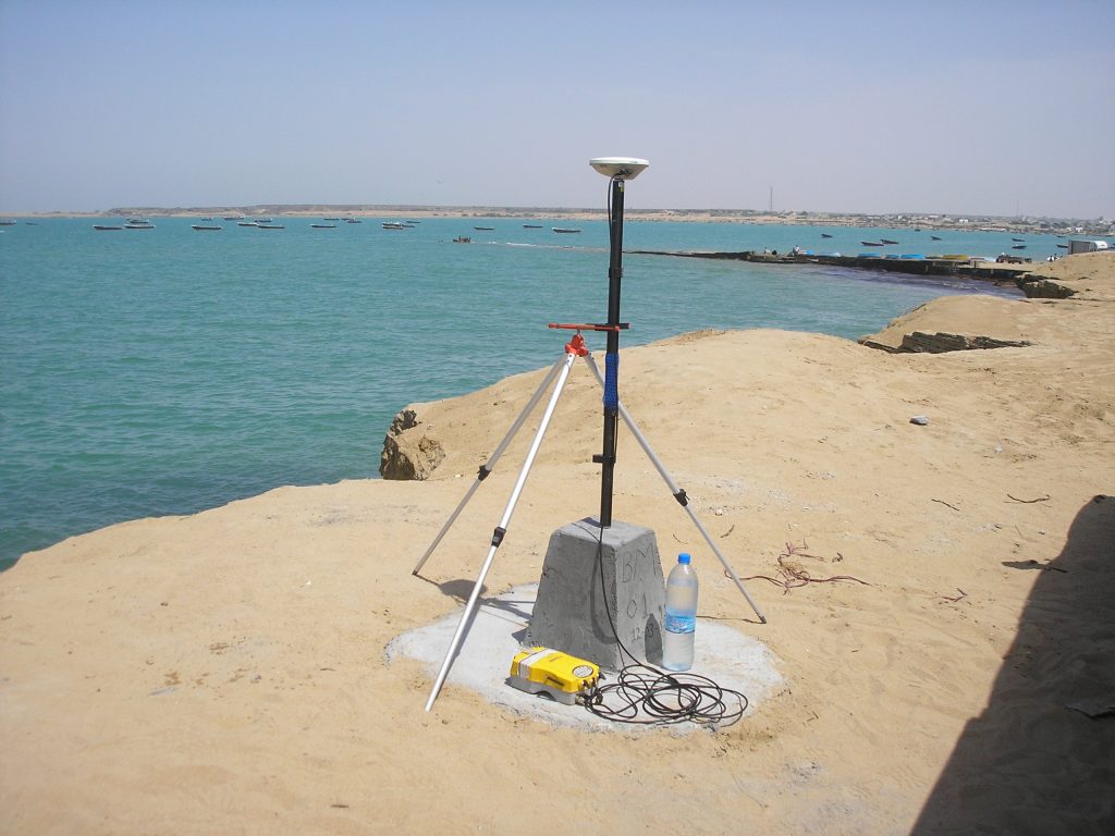
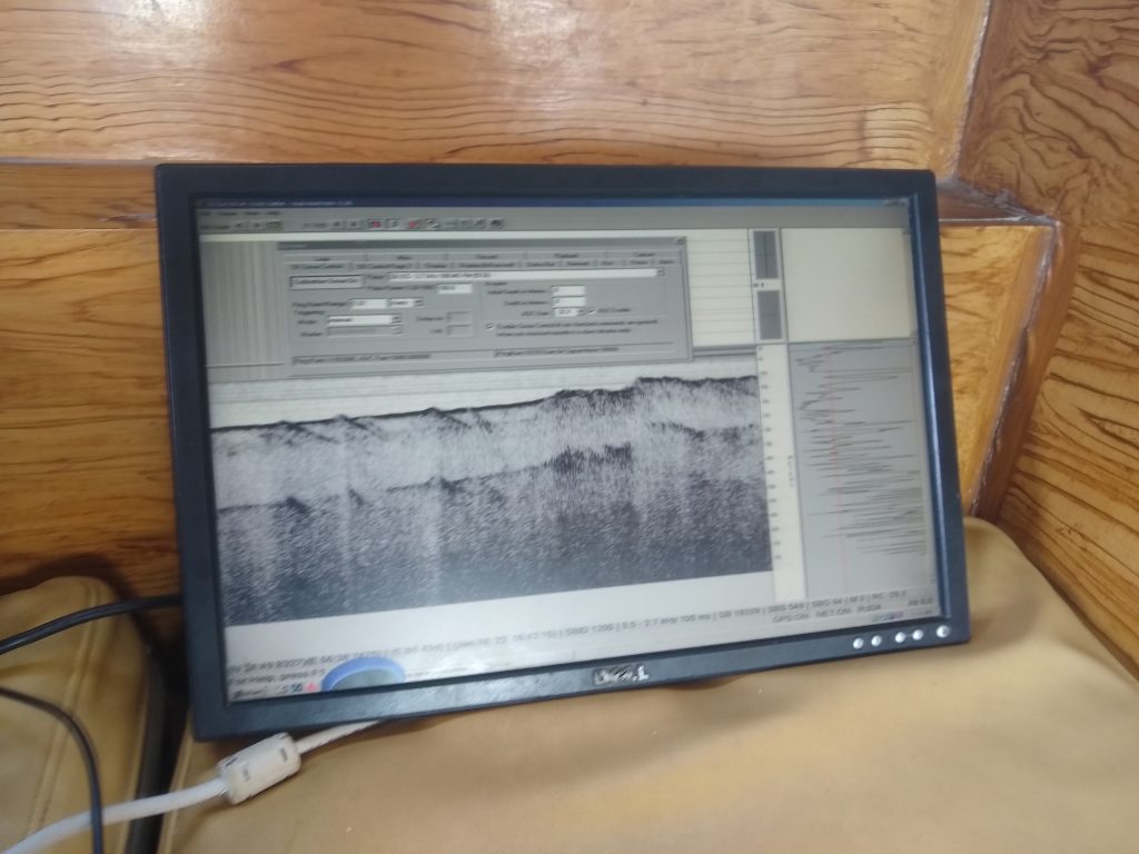
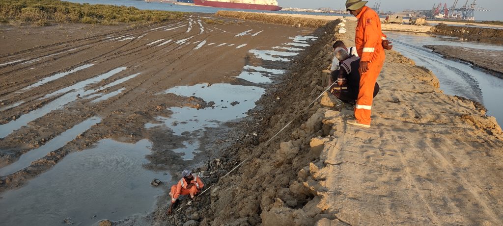
Hydrographic Surveys
Precision Engineers & Surveyors delivers high-accuracy hydrographic surveys in accordance with IHO C-13 Manual on Hydrography see more...
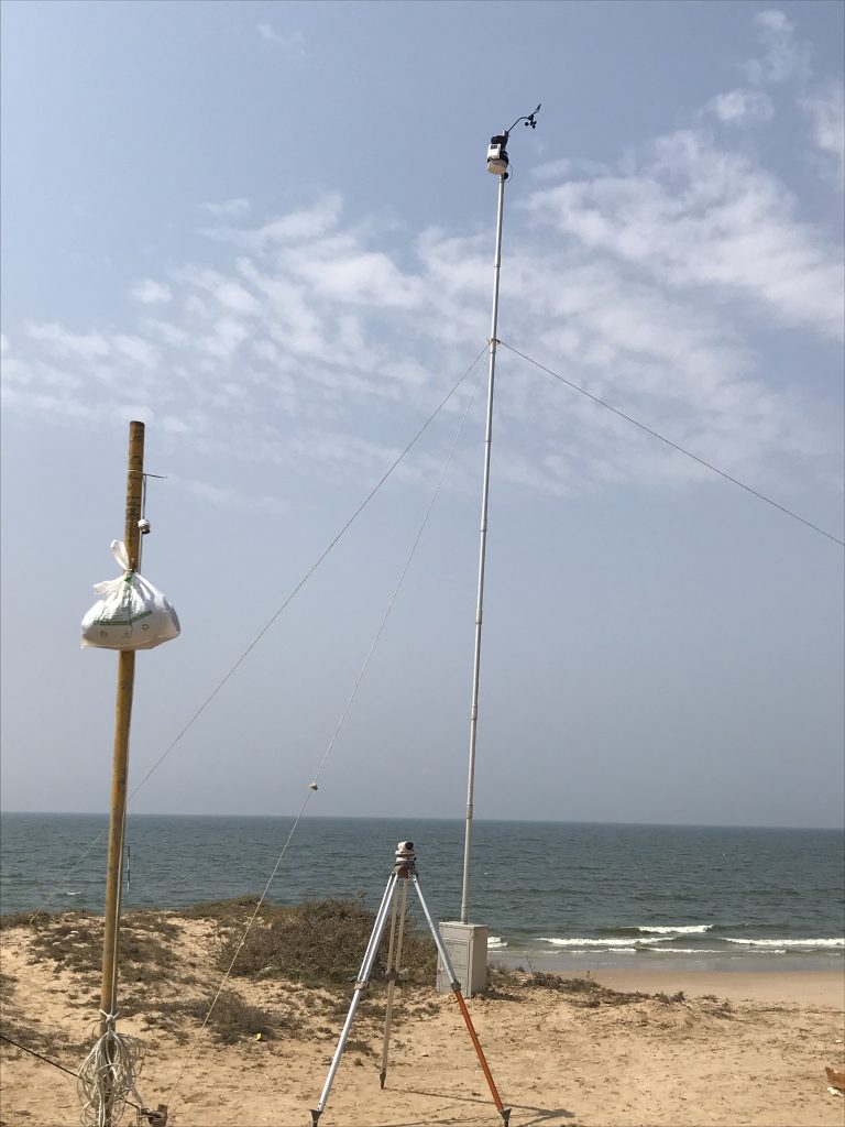

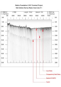
Oceanographic Studies
We conduct comprehensive oceanographic and metocean studies following IHO C-13 guidance, ISO, and see more...

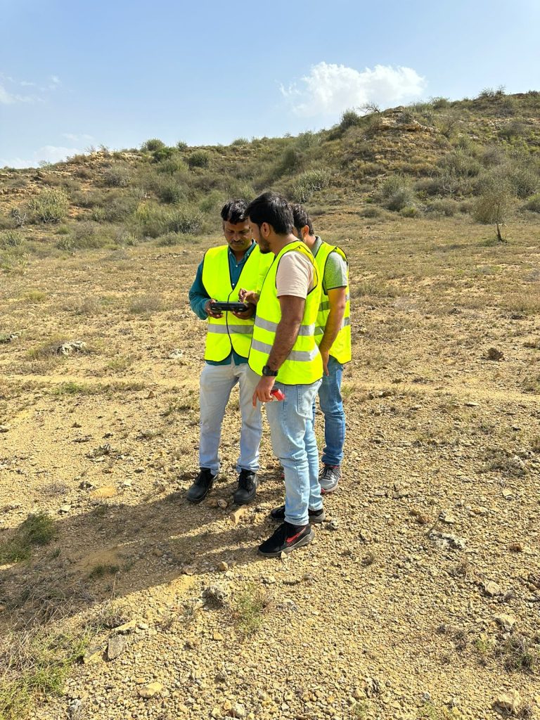
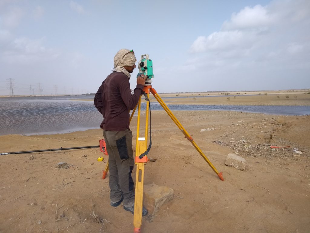
Topographic Surveys
Our topographic survey services are performed in compliance with international surveying standards, utilizing GNSS, see more...

Project Management
We conduct comprehensive oceanographic and metocean studies following IHO C-13 guidance, ISO, and see more...

Contract Administration
Our topographic survey services are performed in compliance with international surveying standards, utilizing GNSS, see more...

Architecture
Our topographic survey services are performed in compliance with international surveying standards, utilizing GNSS, see more...
Urban Planning
Our topographic survey services are performed in compliance with international surveying standards, utilizing GNSS, see more...


Hello world!
Lorem ipsum dolor sit amet, consectetur adipiscing elit. Ut elit tellus, luctus nec ullamcorper mattis, pulvinar dapibus leo.